Buenos Aires 'North access' motorway
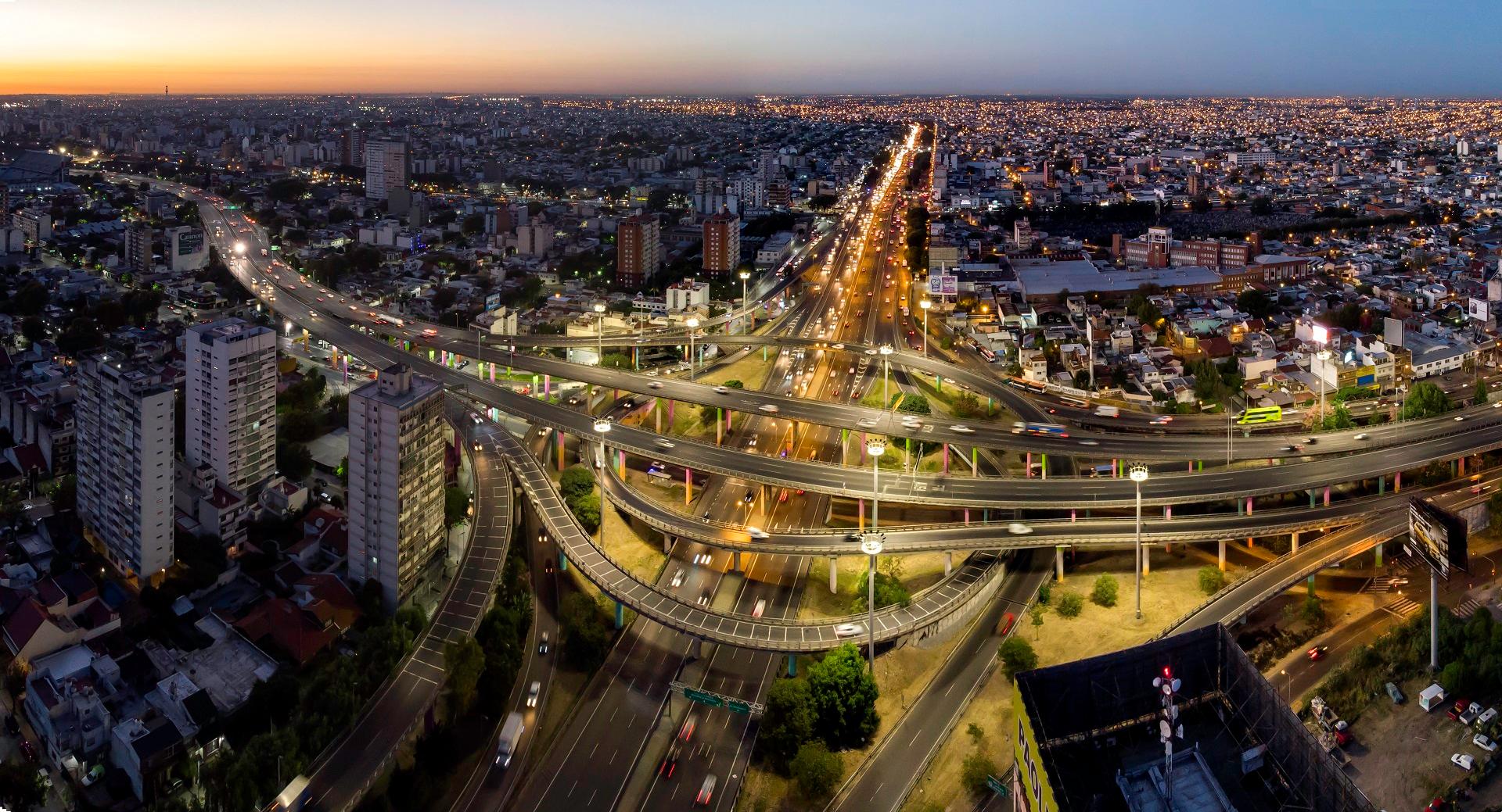
The "Acceso Norte" system unfurls for around 120 km and its main purpose is to alleviate the flow of vehicles entering the city, from the State Roads and from the residential neighborhoods to the north, as well as easing the flow of cars leaving the city at the weekend.
By facilitating the connection between the capital and the outskirts while speeding up the road traffic, the "Autopista del Sol" can be considered one of the factors underpinning the urban development of the area to the north of Buenos Aires. Previously used for agriculture and livestock, the zone has undergone a reconversion which first involved the construction of "weekend houses" and then the creation of full-fledged satellite towns, endowed with good standard amenities and connections.
The concession included all of Avenida General Paz (24.1 km) and Avenida Panamericana from the intersection with Avenida General Paz up to Campana (60.9 km), on the sections towards Pilar (24.4 km) and Tigre (10.5 km). Funding was provided by the shareholders and a bank pool coordinated by Citybank.
The concession had a 22-year term, starting from July 1996. Tolls are collected at 19 tollbooths.
Along the "Ruta Panamericana" and the "Avenida General Paz" boulevard, over 25,000 trees were planted in addition to over 40,000 shrubs, and more than 1,100 species of fine forest plants. The new "Parco del Sol" which occupies the entire route leading to Tigre, was also created.
Multimedia
Buenos Aires North Access Motorway, Argentina - Webuild Project
Technical data
+ + +
m3 Excavations
+ + +
m3 Embankments
+ + +
m2 Structural concrete
+ + +
m2 Bridges